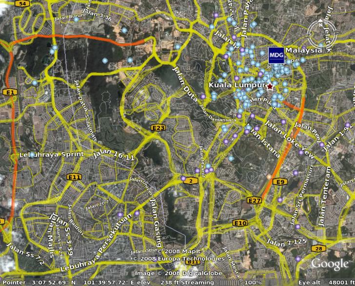
where can i find shapefile with road line trunk and also with the roadname respectively..
in shapefiles format (.shp) or TIGER format which I believe the later will not possible..
so that i can use with my geoserver…
any from http://www.jupem.gov.my
http://www.jkr.gov.my
both side providing the bitmap / jpeg source ..
while from google earth can already produce this.. for free..?